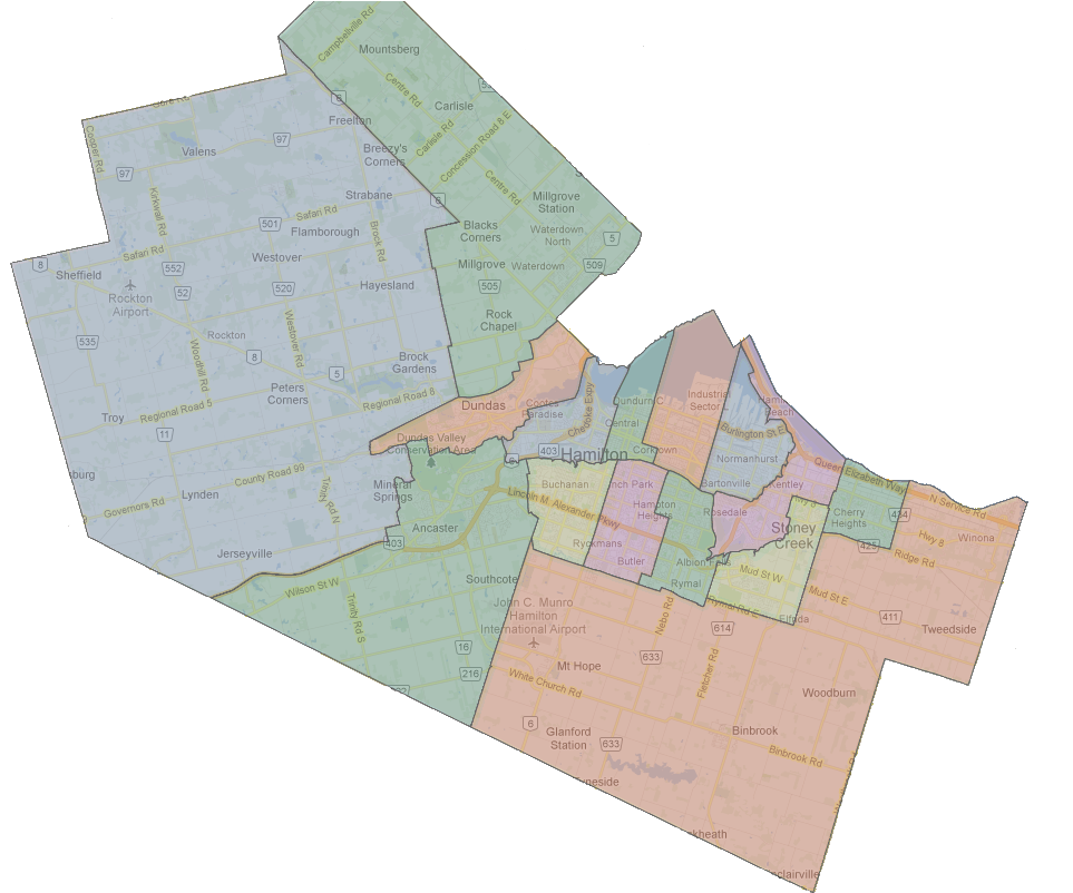
I'm working on a new series of articles about Hamilton's localisms that I'll publish on The Public Record in the coming weeks.
In my 2015 column looking at localisms I tried to define the boundary between Central and East Hamilton; stating that I look at the boundary as being a cultural marker. "To me, East End refers to the former 'blue collar' culture of an area where steelworkers lived closer to the factory that provided plentiful good employment and the strong union culture that came from those neighbourhoods".
Two weekends ago, I enjoyed a conversation on this topic with a former resident of East Hamilton, Balsam Avenue to be exact, who like me presently resides in Beasley.
She noted that today, Balsam Avenue is called Central Hamilton, but when she lived there during the 80s and 90s, it was clearly considered East Hamilton.
We both agreed the change is the result of how the character and culture of the area has changed.
The question we both discussed was, where does the present boundary for East Hamilton begin? And how far east do we expect it to shift?
We didn't come to an answer on that. Is Ottawa Street's restaurant district now part of Central Hamilton?
We are starting to think of Hamilton has one municipality, with Stoney Creek becoming a series of neighbourhoods much like Bartonville and Saltfleet did?
A lot of interesting ideas for me to think about.
